 Next up on our tour of Korea's tallest peaks is Jirisan. Sarah and I left from the Suwon Bus Terminal on a rainy Saturday morning in early November, hoping to catch the last of Korea's famous fall foliage. Our destination was Jinju, a small city in South Gyeongsang Province, and a popular entry point cities to hike Jirisan's peak. After about a 4 hour bus ride, we made it to Jinju, however our journey had just begun. We still needed to get to Jungsan-ni Village (about another hour away) and hopefully find availability at one of the minbaks (guest house) there. We made our way to the other bus terminal in Jinju, forgot to transfer to a different bus so we spent some time with the driver until he started his route back the other way. He was nice enough to share some of his rice cake snack before taking us back to the transfer point to catch the other bus to Jungsan-ni.
Luckily enough for us, we were able to find a room at one of the minbaks in the village for only about 30,000won, or $30. We had an early morning ahead of us so we cozied up on the floor (most of the minbaks I've stayed in don't have beds) for a good nights rest.
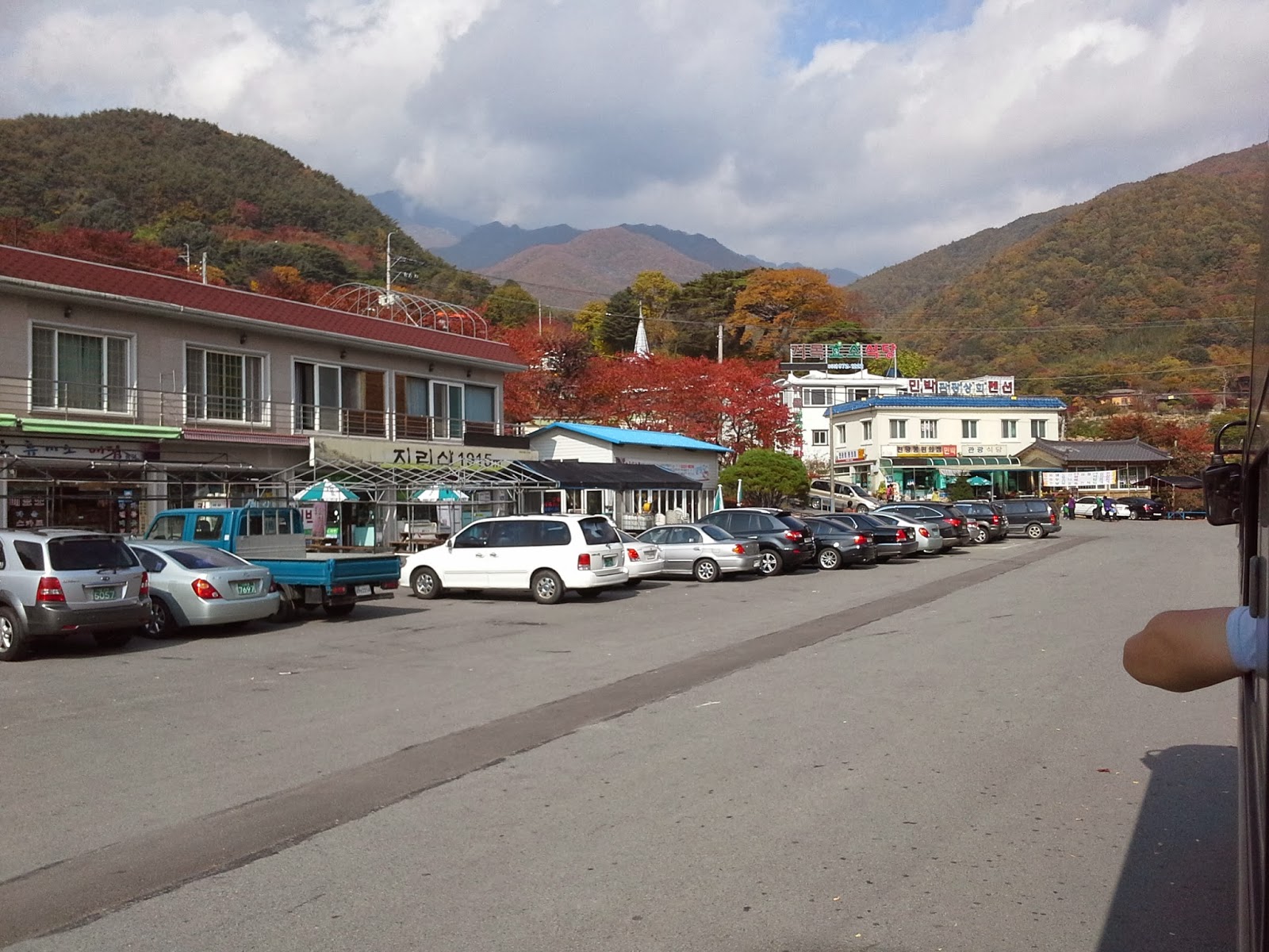 |
| Jungsan-ni Village |
Jirisan National Park (elevation 1,915m or 6,282ft)
 Jirisan was the first designated national park in Korea and is considered to be one of the most sacred mountains in the country. The national park stretches across 3 provinces and has a lot of areas that are off limits to hikers for safety reasons.
Unlike Seoraksan, you don't have to hike a through valleys and riverbeds before starting your accent to the top. The quickest and easiest route up to Cheonwangbong peak (천왕봉) starts from Jungsan-ni which is at the base of the peak. We woke up around 5:000am Sunday morning so that we were sure to finish our hike with enough time to catch our bus back to Seoul later that afternoon. It's about a 1.5km walk up a winding road from the village to the trail entrance. Luckily for us, a bus full of hikers was about to start their hike too and offered to give us a ride to the trail entrance, saving us about a 30minute walk.
 This particular hiking trail is 12.4km round trip and takes about 9 hours to complete. It was still pretty dark when we started on the path and the sun finally woke up around 7am giving us the opportunity to enjoy all of the beautiful colors. We made really good time up the mountain and reached the peak by about 9am. We had more time to enjoy the foliage on the hike down the mountain and the trail was surprisingly less crowded than we were expecting. Jirisan is a beautiful mountain but we would've needed a few more weeks to have enjoyed everything it has to offer. Stay tuned for the last and tallest mountain to complete our tour of Korea's tallest peaks!

 Hallasan National Park (elevation 1,950m or 6,398ft)
 I've grown to really enjoy hiking early in the morning and watching the sun come up. It's peaceful, beautiful and just gives you so much appreciation for being outdoors. Because it was the beginning of January, the trail was completely covered with snow. Honestly, I think it made the hike easier because it was a gradual incline for the majority of the hike, instead of climbing hundreds of stairs. Eventually we made it to SaraOreum. Unfortunately, the lake was frozen over but it was kind of cool being able to walk across a lake on top of a volcano.


